A year or so after we moved to Portland from New York my wife's coworker told her about the Enchantments. He described an otherworldly place marked by a dozen high alpine crystal blue lakes and jagged granite peaks. A place not easily accessible and to see it would test one physically and mentally. I did a quick Google search for the Enchantments after he described this majestic place and I was blown away that such a magnificent place could exist - let alone within a few hundred miles of Portland.
A visit to the Enchantments requires much preparation and planning. Camping in the area is restricted to a lottery system - since it is such a popular region of the Alpine Lakes Wilderness the forest service limits the number of permits issued for backpacking in order to reduce the impact on the fragile area.
Last summer, we decided we would take a long weekend right after the permit season ended in mid-October and camp at the gateway to the Enchantments, Colchuck Lake, for two nights and explore in the upper basin on a day hike. I haven't been able to get the place out of my mind since that visit last fall. We were determined to return there this summer when the weather would be more predictable and forgiving.
Here are some photos from our trip last October.
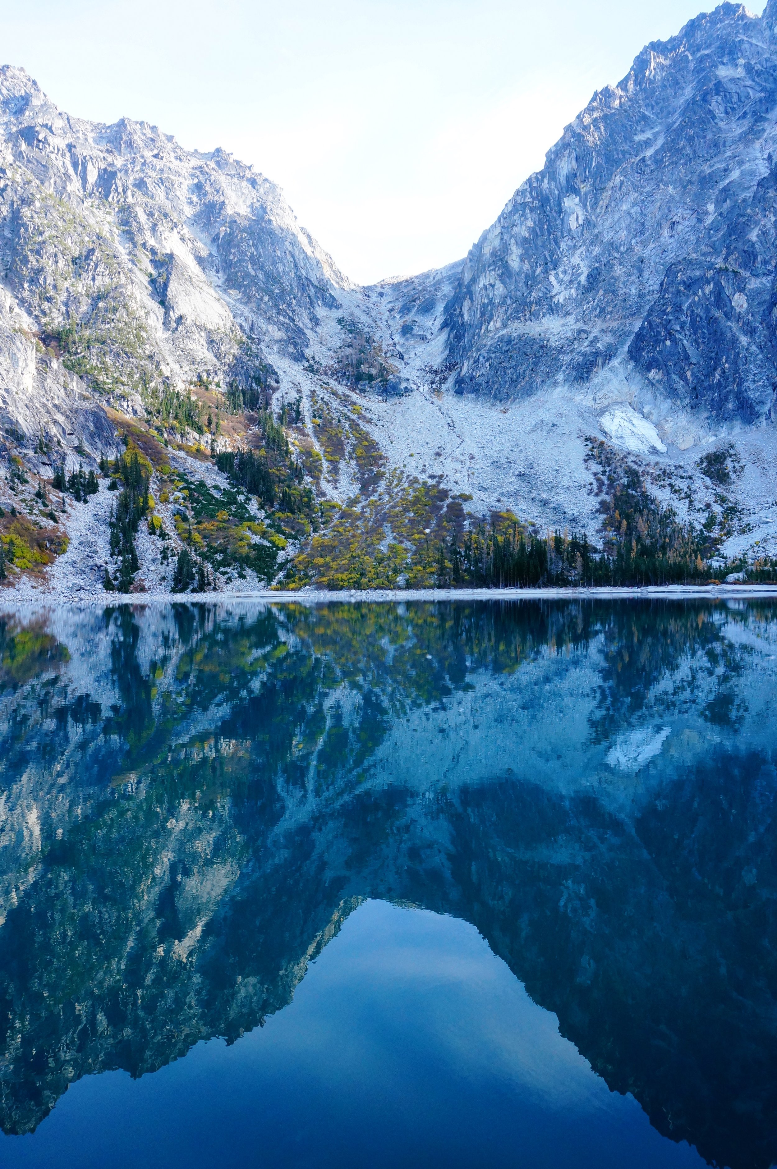
View of Colchuck Lake - to reach the Enchantment Lakes we'd need to hike over Aasgard Pass, the rocky pass to the left of the scene. October 2015
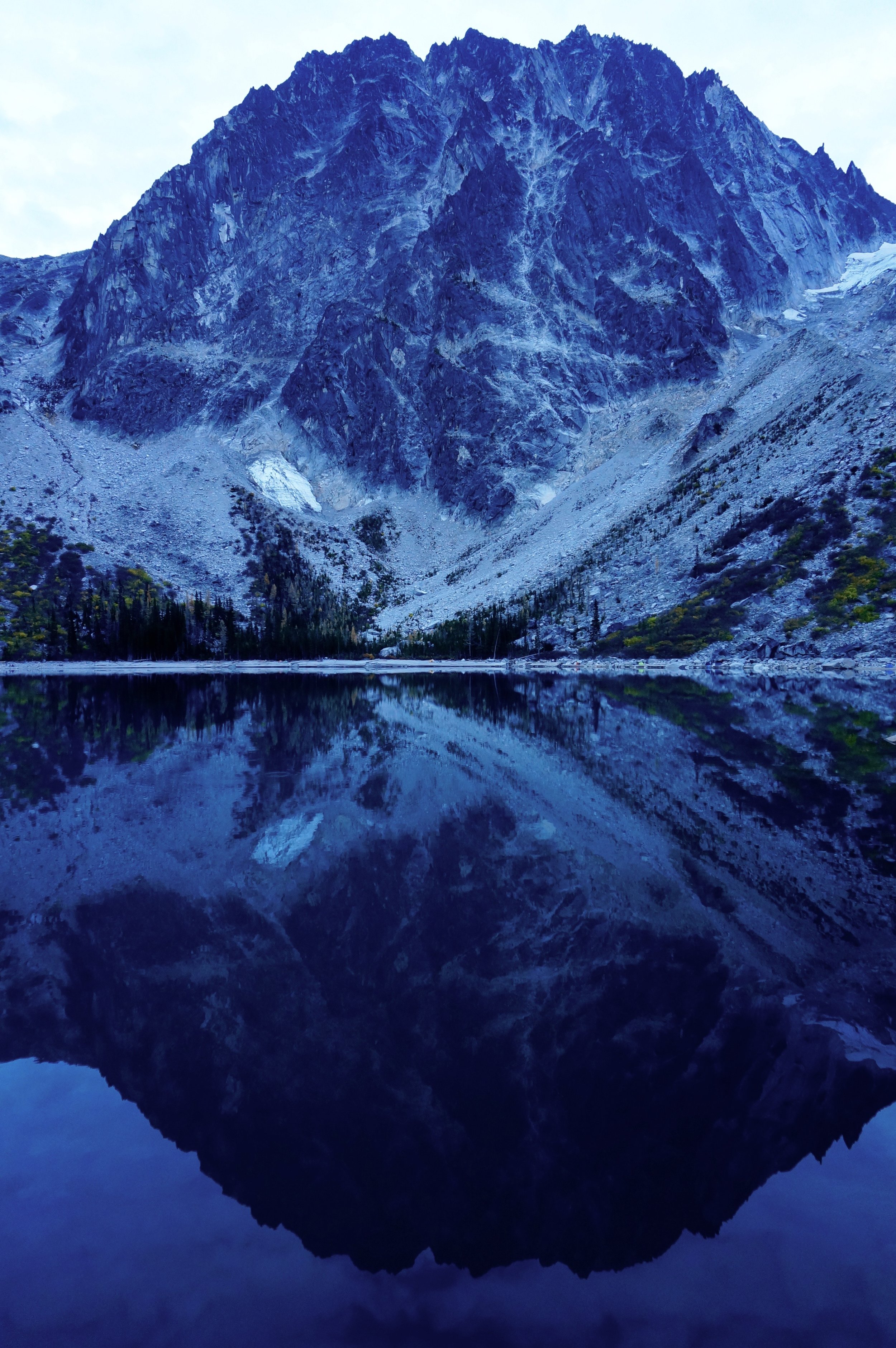
The impressive Dragontail Peak rises a few thousand feet above Colchuck Lake - October 2015
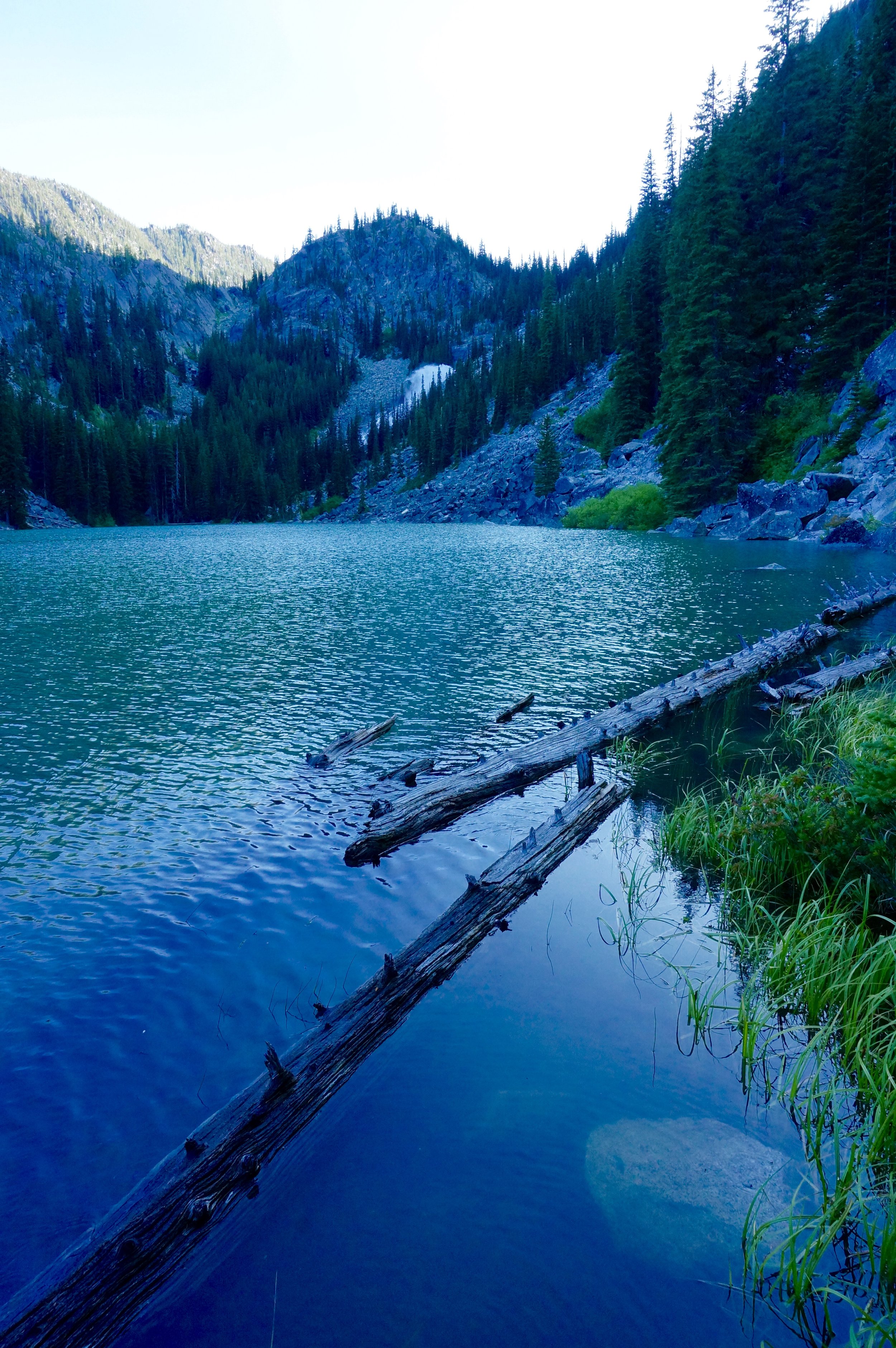
Turquoise tarn - October 2015
Perfection Lake - October 2015
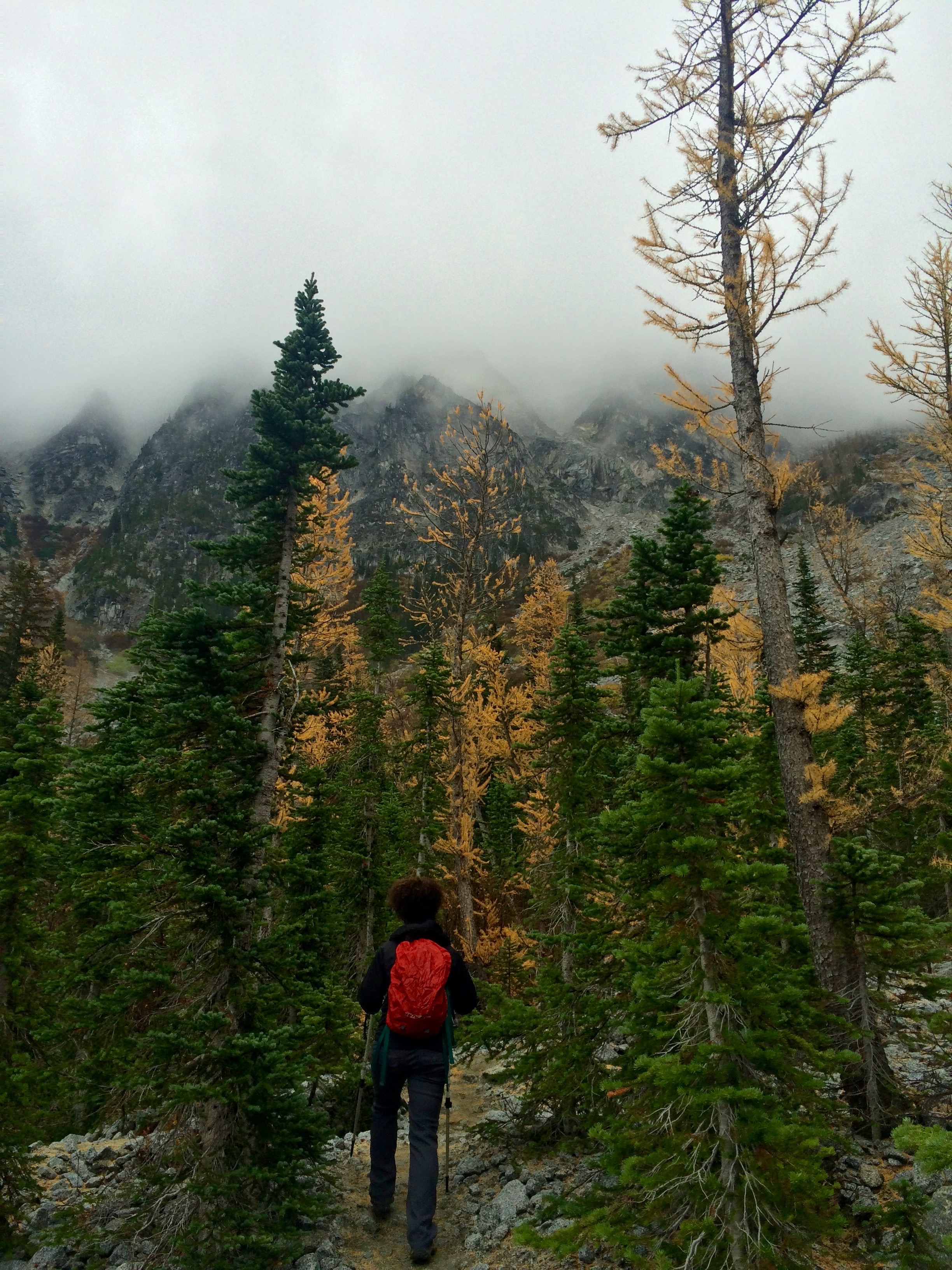
Leaning Larch - October 2015
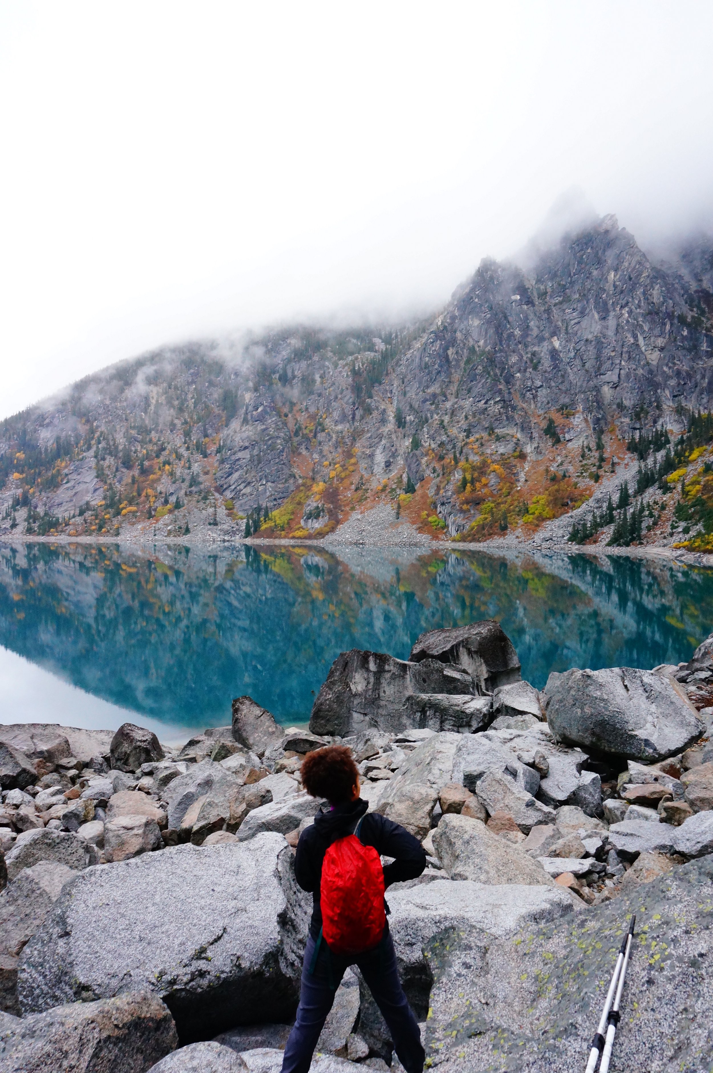
We descended Aasgard Pass as a cold rain fell - October 2015
One last look at Colchuck Lake, Dragontail Peak, and Aasgard Pass. Blue sky over the pass. - October 2015
As we left the Enchantments last October we decided we would be back someday.
Back to the present...
We did not secure overnight backpacking permits so we opt to attempt the daunting, formidable thru hike. We'd cover about 21 miles over the course of the day. We'd gain nearly 5,000 feet of elevation in the first 5-6 miles (2,200 feet of that in a mile on the brutal ascent of the punishing Aasgard Pass) before even reaching the upper Enchantment Lakes basin. From there, we'd have 15-16 miles remaining and would ultimately lose nearly 7,000 feet of elevation before reaching the trailhead at dark, our headlamps dotting the switchbacks as night fell and we descended into the valley.
The week before our trip I read as many trip reports as possible. While I believed myself to be in pretty good shape (earlier in the summer we competed in an Olympic Duathlon - 5K run, 40K bike, 10K run - and had done some longer day hikes and backpacking trips. My legs felt strong but I was still daunted by the hike's stats. The few days before I began to visualize myself taking on the challenge. I was nervous, but confident.
At 5 pm Friday we are off. We reach the Leavenworth area around 9:30 pm where we meet my brother, Myles, cousin, Anna, and her boyfriend, Brad. We camp about an hour from the trailhead and rise before 5 am. We load up on a hearty breakfast of oatmeal, fruit, and cinnamon, and french press coffee. We arrive at the Stuart Lake trailhead later than I had hoped, fill out our wilderness permit at the trailhead, and are on the trail by 7:25 am. (In retrospect, we should have started no later than 6:30 am. One group of women who finished just ahead of us started their day at 5:30 am.)
We watched the stars Friday before heading to bed.
Stuart Lake Trail to Aasgard Pass - approximately 6 miles, 4,400 feet of elevation gain
We set a quick pace on the Stuart Lake Trail and are on our way. The trail climbs gradually in a dense forest and alongside Mountaineer Creek. I now wish I had savored this section more since it would turn out to be the easiest five miles of the entire day. A few miles in we turn left onto the Colchuck Lake Trail. We cross the rushing creek and a boulder field along the bank of the creek. After this point the trail begins climbing again. Before long, I can see the ridge of the pointy Dragontail Peak and I know we are not too far from the lake. At a little over four miles we reach Colchuck Lake. The views here are unparalleled. We drop our packs and have a snack mostly in silence as we took in the magnificent views. Although I remember Dragontail Peak as a stunning sight, I forgot how imposing and massive it is as it juts an impressive few thousand feet up from the lake. We look across the lake at Aasgard Pass and point out the route.
After a short rest, we make our way around the lake. We notice a number of campsites and hammocks swaying between trees at the lakeside. I take a quick detour to check out the reflection of nearby mountains in a large tarn next to the lake.
Dragontail Peak rises above Colchuck Lake and reflects in this nearby tarn.
Onwards. We make our way around the lake and soon cross a large boulder field.
We rest momentarily at the shore of Colchuck Lake, looking back from where we had just been.
We begin the slow, grueling climb up Aasgard Pass. We'll gain 2,000 feet of elevation over the next three quarters of a mile. My focus is strictly limited to putting one foot in front of the other. Every few minutes I pause to catch by breath and turn around to take in the changing views of Colchuck Lake.
Anna pauses to catch her breath.
Shortly into the climb I realize I've already drained three liters of water. We stop by a stream that flows down the pass and filter water. A welcomed break.
A mountain goat rests on the rocks above the lake, presumably taking in the sights.
We celebrate when we reach the top. I feel both a a sense of relief and pride before realizing that from here we still have 12 (ends up being 15) miles to go. By now, we've been hiking for around five hours. Hungry, we enjoy our lunch in the upper basin and enjoy the view of Tranquil Lake.
Core Enchantments to Snow Lake - approximately 8 miles, 2,700 feet elevation loss
We encounter much snow in the core zone and many pristine alpine lakes.
My memories of our thru hike beyond this point are murky. I think the combination of intense exertion and our constant movement made it difficult for me to really take in the views. So much of my mental energy was devoted to looking at the ground to ensure my safety that I'm now having trouble recalling mental images of the place. There was also a stretch of an hour or so between Perfection Lake and Lake Viviane where I crashed a bit. Thankfully, we stop every so often to eat and rest. I find some shade under a boulder.
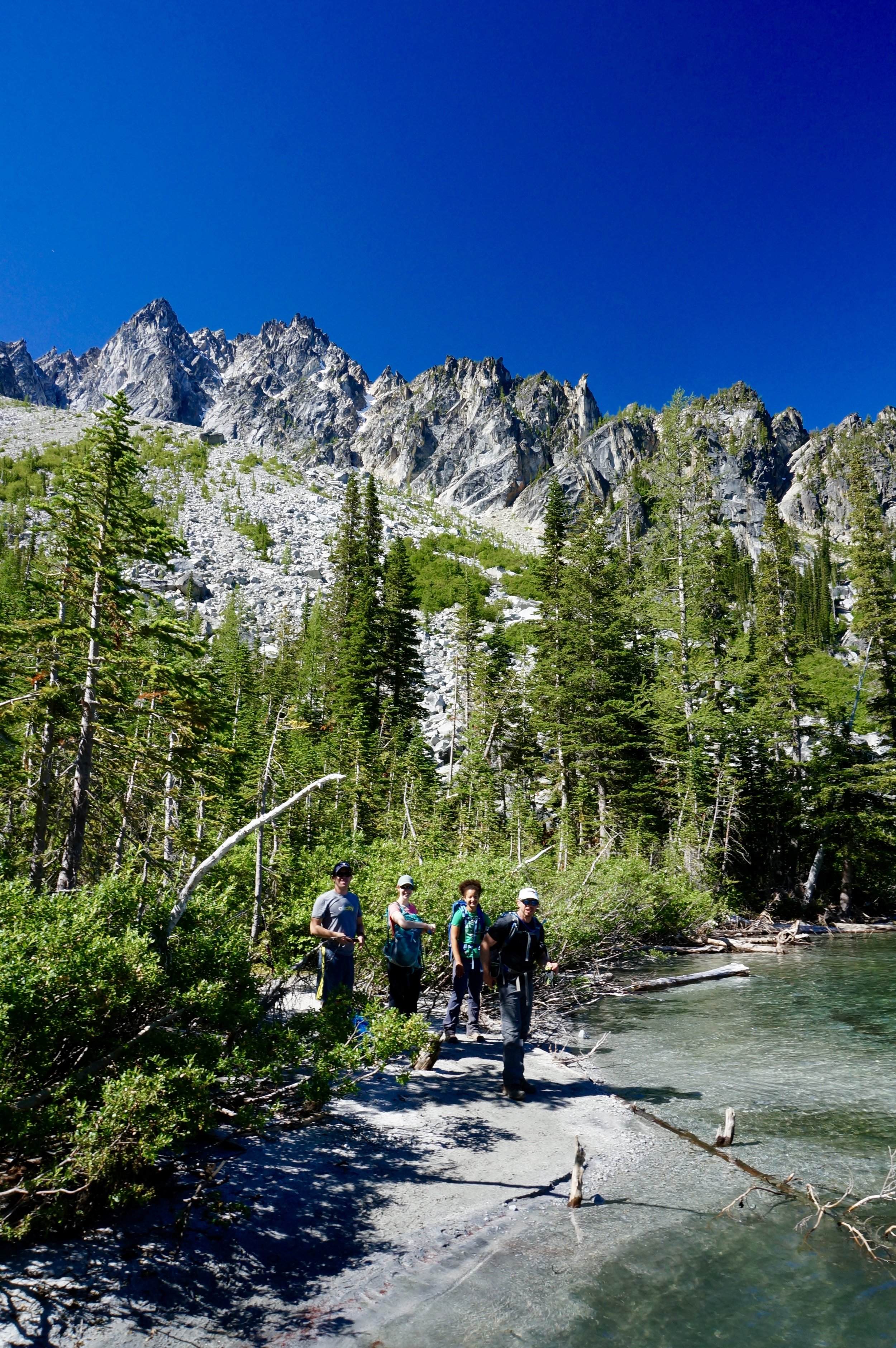
Only group shot we got all day - unfortunately it's not a great photo. Snow Lakes a few thousand feet below.
The hike to Snow Lake from here is rocky and difficult, losing a few thousand feet.
Snow Lakes to Icicle Creek Road - approximately 7 miles, 4,300 feet loss
We reach Snow Lakes and rest for a bit. We replenish our water supply and have another snack to refuel our energy for the remaining seven miles. I am so exhausted I forget to take out my camera. The campsites around Snow Lakes are prime. I secretly envy the folks relaxing in hammocks or swimming in the lake as I know we have miles ahead of us.
The sun begins to fall behind the mountains as we descend towards Nada Lake.
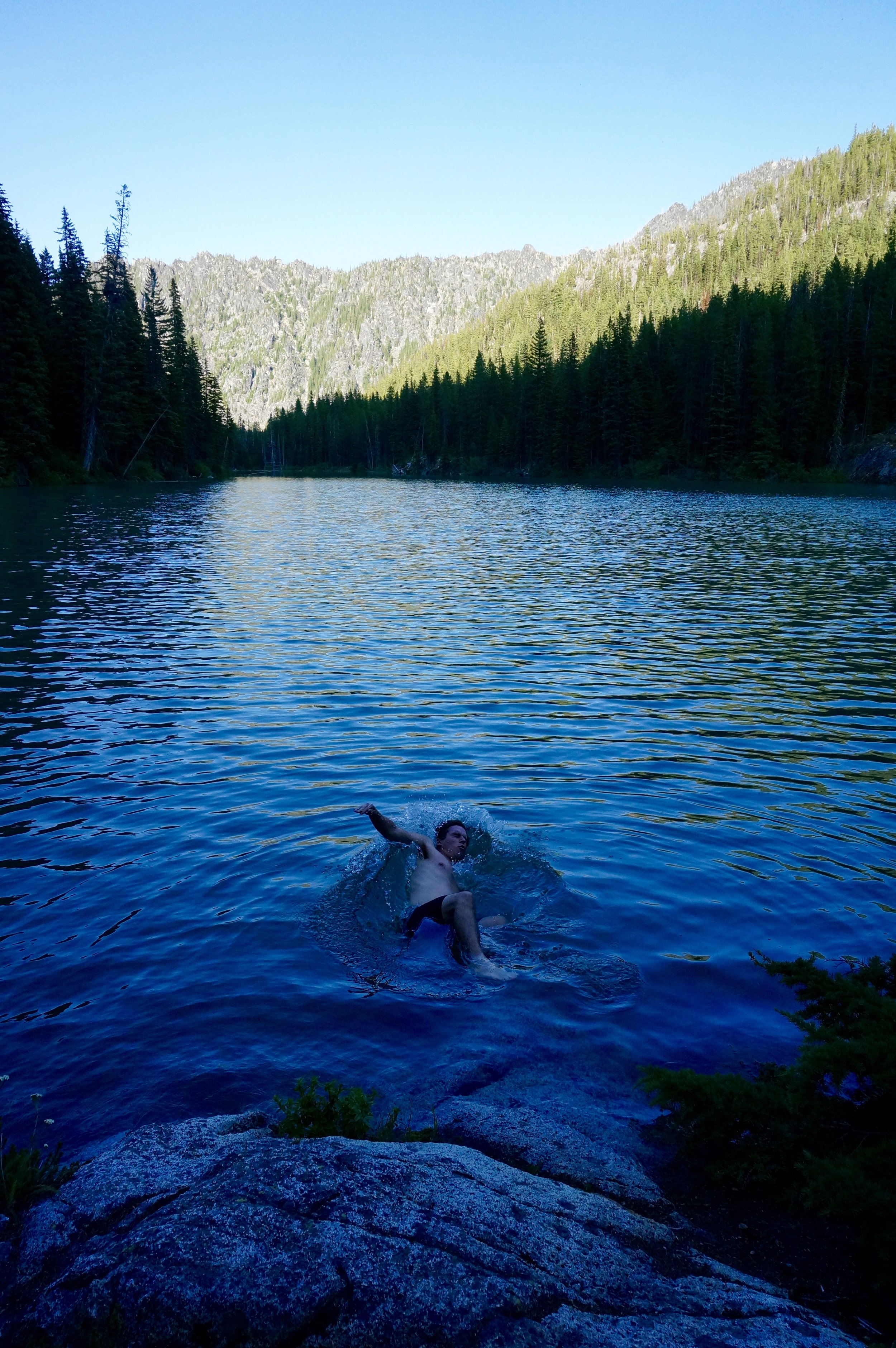
At Nada Lake Myles decides the water is too irresistible and goes for a quick dip. I regret not diving in as it seemed to re-energize him for the last five miles of hiking. This section is a major test of my mental and emotional resilience. Physically, I feel OK with the exception of my feet aching from hiking on rocky terrain all day.
We descend the last few miles with our headlamps lighting the trail. We reach the car and I am relieved to be back. I look back towards the trail and see at least five other headlamps dotting the switchbacks in the blackness. When we return to our campground north of Leavenworth we basically all collapse into our tents and sleep deeply through the night.
In the morning, over coffee, we all share that we feel pretty good. Somehow, I'm not even that sore, which is surprising considering how exhausted I was and how sore my feet were the night before. It must have been the constant stream of calories and the nearly eight liters of water I guzzled down on the trail over the course of the 14 hours.
The Enchantments thru hike was formidable, stunning, awe-inspiring, and incredibly challenging. If I ever make it back there, I'd like to spend at least a few nights so I can really soak up the beauty of this amazing place. A special thanks to Lindsay, Myles, Anna and Brad - for being game for such a crazy adventure, for your company, and for your constant encouragement throughout the journey. Sore, moved, and humbled, we began our long drive back to reality.


