Last weekend's forecast projected typical Pacific Northwest spring weather for Saturday - showers and lots of clouds - so we thought we would check out a waterfall we had never been to: Ramona Falls in the Mt. Hood Wilderness.
On Friday, I read that the bridge over the Sandy River had washed out back in 2014, so rather than start at the traditional Ramona Falls Trailhead and make a potentially dangerous river crossing, we decide to hike from the Top Spur Trailhead along the Pacific Crest Trail for a few extra miles before meeting up with the main trail to the falls.
We get an early start on Saturday morning and are on our way. For the majority of the drive the mountain is completely veiled by low hanging thick clouds. Somewhere along Lolo Pass Road, though, the clouds break for a moment, and Mt. Hood appears from under a gentle blanket of clouds against a backdrop of blue sky. We admire the magnificent mountain view from the road for a fleeting second and continue onwards. (I now regret I didn't hop out to snap some shots with my telephoto lens!)
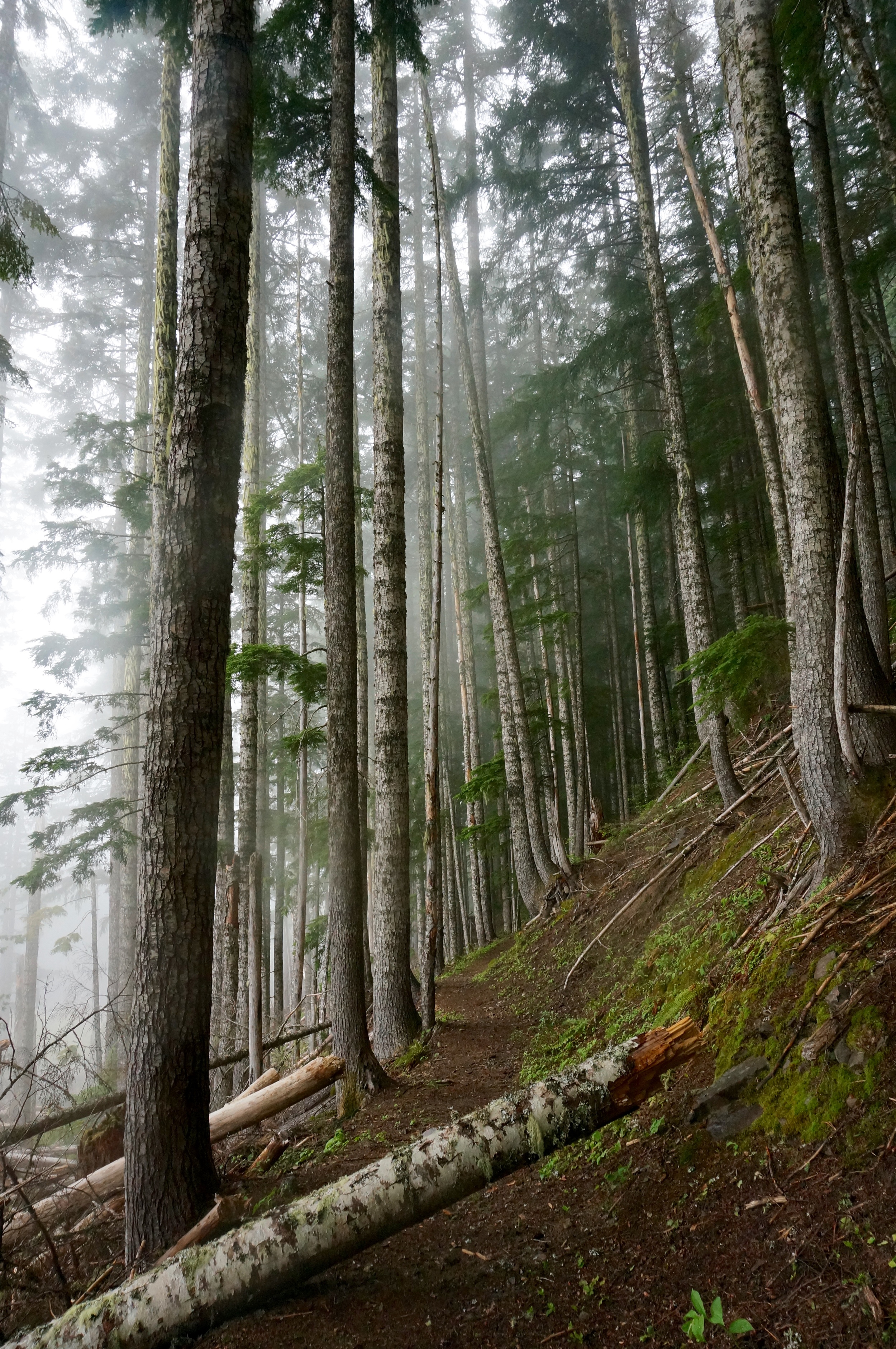
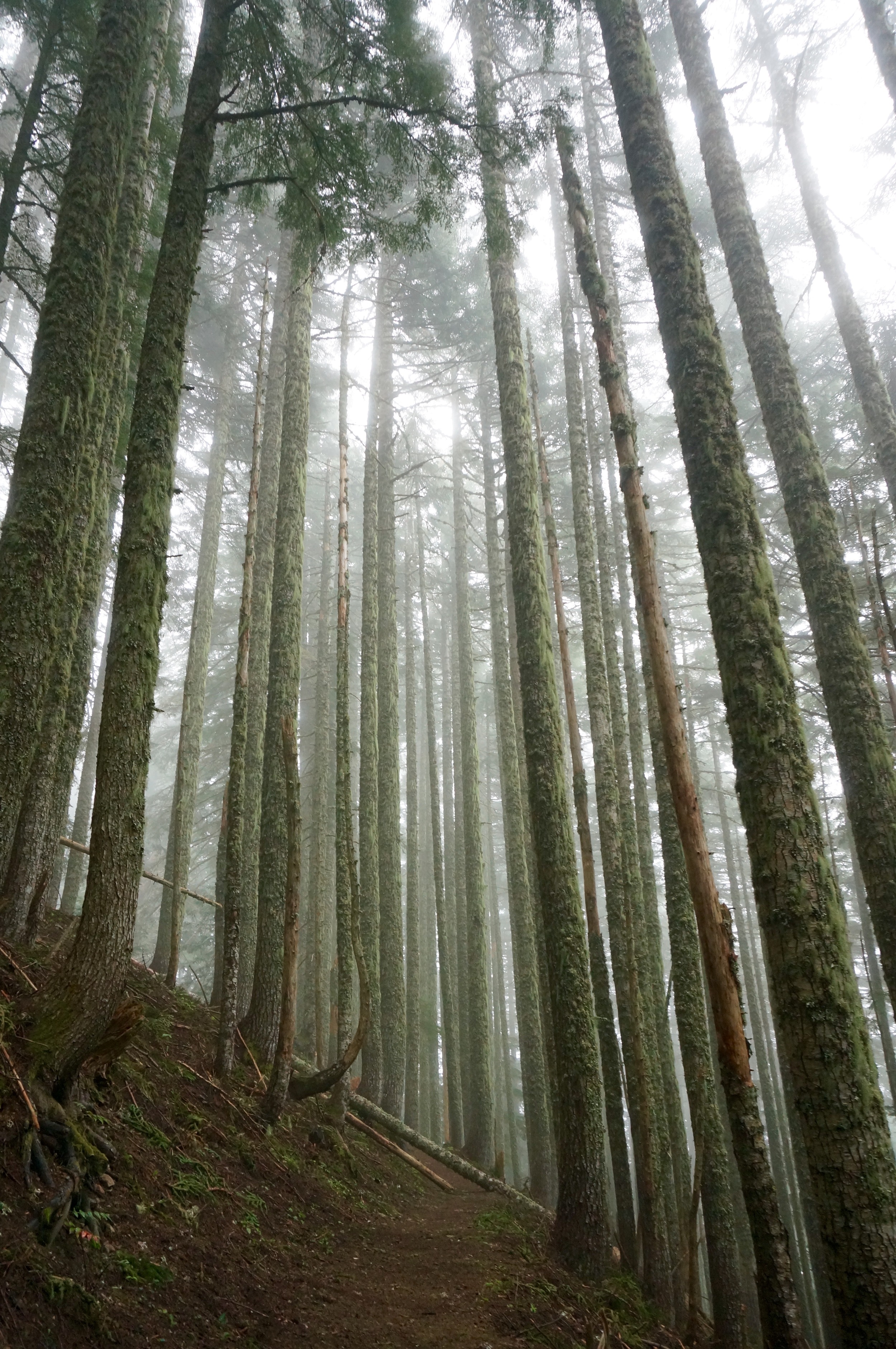
We find only one other car in the parking lot and fog settled low in the forest. I am happy to be here. I make a goal that I will not take my camera out of Manual mode today (I had been shooting in priority or shutter priority modes) and see what happens.
After a third of a mile or so on the Top Spur trail we reach a junction of the Timberline Trail and Pacific Crest Trail and head south on the PCT for about 2.5 miles. The trail here gradually descends over 1,000 feet over a few miles and I fall into an easy rhythm, almost in a meditative place. Lindsay and I talk about the future and we enjoy the peaceful silence of the forest, encountering no other hikers here. I imagine us hiking a section of the PCT with our hypothetical children someday.
We reach the Muddy Fork of the Sandy River and cross easily on a fallen log and soon after join up with the Ramona Falls trail.
Over the next few miles we encounter a number of other pairs returning from the falls. One woman shares another hiker saw a bear run across the trail earlier. Although I'd prefer no large mammal encounters, I think it'd be amazing to see one from afar. The section of trail here is beautiful along Ramona Creek. We round a bend in the trail and the 120-foot Ramona Falls is upon us, cascading beautifully. We cross a bridge and join about 10 others taking in the views.
After some time at the falls a light misty rain begins to fall and the temperature drops. We have a snack and are on our way. I suggest we take the Timberline Trail back to the trailhead to make a loop out of our hike while adding a few more miles. We begin ascending almost immediately and encounter fog hanging low on the trees.
We are on the trail for a few miles when I realize we will need to cross the Muddy Fork of the Sandy River four different times - higher up on the mountain. We reach the Muddy Fork and the crossing takes us about an hour. A few sections are relatively easy (we cross on large rocks) but the third is more challenging as we cannot find a safe route to cross on rocks. We scout the river for at least 30 minutes and opt to cross at a shallow, wide section where the water is not rushing as forcefully. We keep our boots on for support and face upstream, perpendicular to the flow of the water. We cross safely without issue.
(Please note: With the exception of this hike we are meticulous and thorough in our hike planning. This is especially important in the springtime when creeks are flowing unpredictably. We learned our lesson.)
At this point we are wet and tired and hope the next 2-3 miles on the trail are easy. I am reminded of our hike along the Timberline Trail here back in November after a light snow and icefall created a magical forest scene.
We make good time over the last few miles. We reach the car wet, muddy, and wiped. I look forward to returning to this area in the summer months to backpack and camp under the stars. And maybe we'll get lucky enough to have a view of the mountain - up close - in all her majesty.
“There are no words that can tell the hidden spirit of the wilderness, that can reveal its mystery, its melancholy, its charm.”
Distance: 12 + miles / Elevation gain: 2,400 feet


